Day 64
From Ferron to Emery, via Little Grand Canyon of Utah and
the San Rafael Swell
Part 2
Retracing the past
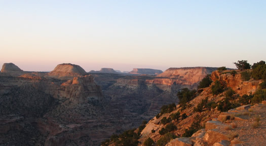
Sunrise on Little Grand Canyon of Utah.
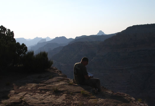
Now.... Which way do we go from here ???
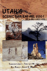 |
With Mark's book in hand (yes, the same Mark who was our guide..), we'll
be able to discover at our own pace, this wonderful region.
In it, Mark directs you to the tenth of a mile so you can enjoy some of the well hidden
secrets of the San Rafael Swell. A great guide! |
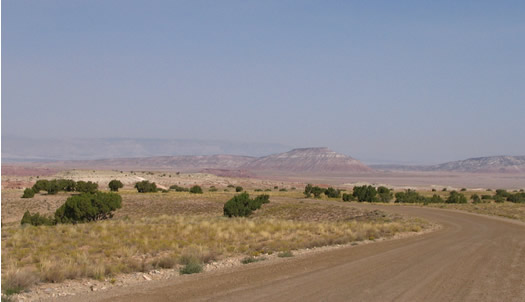
We're back on the road.
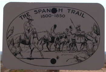 |
We ride on a portion of the Spanish Trail. Witness of a less inspiring
era...
The Spanishs used this trail to bring back Indians prisonners to Mexico where they would
sell them as slaves for $200.00... |
|
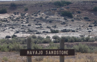
Sandstone was created millions of years ago when all of this
area was still under water. We can still see the sand dune shape of the old the sea floor. |
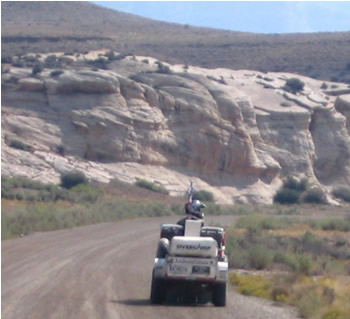 |
At the mouth of Buckhorn wash.
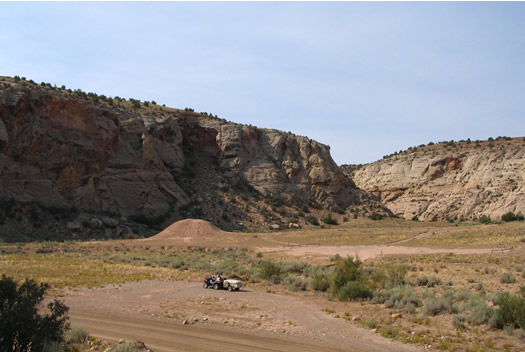
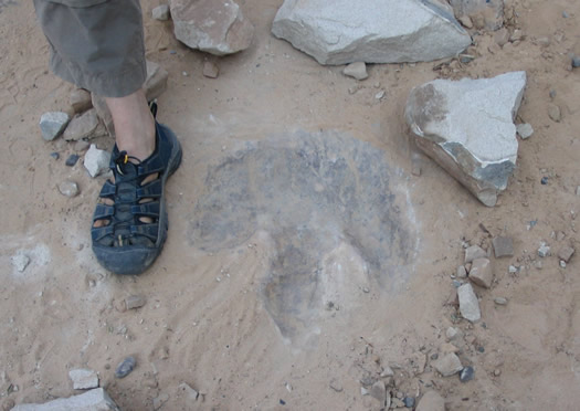
Here's a dinosaure track we could see, thanks to Marks book.
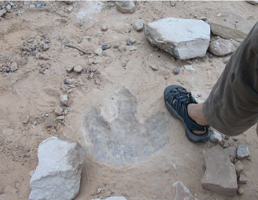
Can you imaigine the size of the bird that left that foot print??
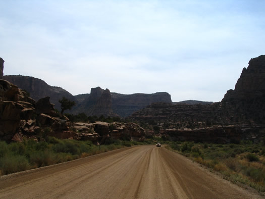
Entering deeper in the canyon...
 
Yeah ! Amazing !
 |
Dinosaure tracks! |
| Bof... |
The road washed out with the last flash flood.' |
 |
|
|
|
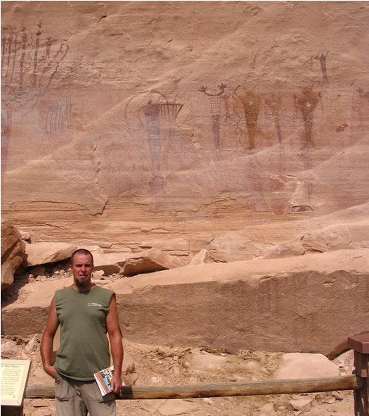
Here's a rock art panel showing a lot of petroglyphs.
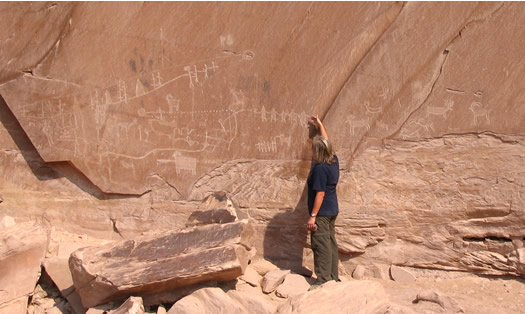
For a closer look...click
here.
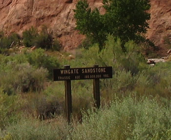 |
Rocks that date over 100,000,000 years!! |
In front of the Buckhorn Wash Pictograph Panel. After being heavily vandalised,
(the panel, not Marc...) it was restored in 1996.
Ahhh! The Lady's section back!
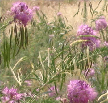 |
" I just can't ride by these lovely flowers without showing them to
you..." France. |
Back to business, here we are now at the southern end of the canyon, near Limestone
Bench.
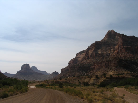
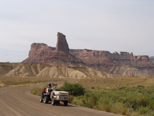
On the road again...
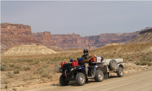
 |
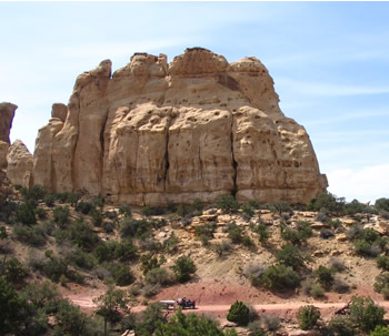
More piles of rocks!
Noticed the small spot at the bottom of the lower pic? We feel very small in all this
immensity. |
 |
Hey! We're back to Eagle Arch...
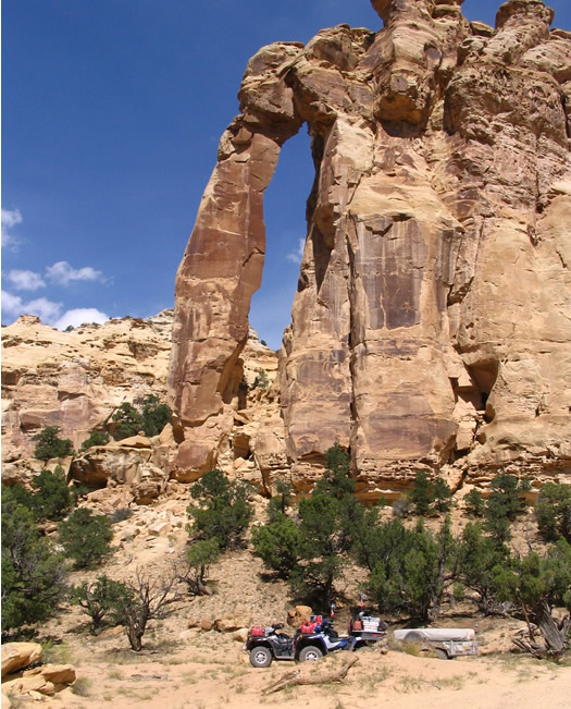
...In Eagle Canyon...
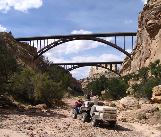
The next 2 miles of trail from Eagle Canyon to Justensen Flats are rated as "most
difficult" on the map, and , they are!
Very steep, covered with loose rocks that roll under our wheels, turning the climb into a
challenge. It's a whole different world between here and what we've seen to this point.
France meets the challenge by climbing sections that have more similarities with a
staircase than a trail!! The few sections that are dirt are heavily rutted...The trailer
swings from one side to the other...
Hey! It's only 2 miles. After that, according to the map, we'll be back on some county
dirt roads...That's our motivation!
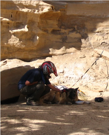 |
Unrelated: "Hi there ol' pal!
You alone here?
Here, have a little of my water. I hope your owner gets back soon..." If us humans
need to drink every hour or so in this hot and dry climat, guess dogs, with their fur
coat, do too... |
A guy in his 4X4 pick-up tells us the "road" does'nt go any further...
" I had to turn around. There is no more road or ATV tracks. Don't go that way,
you'll only loose your time..."
Marc, (to himself):...Trouble is, I don't know any other way...Besides the one we
came...and...it's rather rough...Anyway, we would'nt have enough gas to backtrack all the
way!! Oh! There are other roads on the map but, who knows if they're any better then this
one??
Well! Was that it?? I guess maybe a truck might have problems but, for us, it's a piece
of cake...
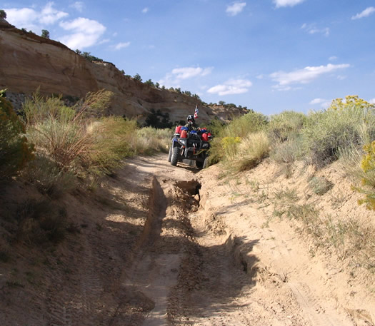
About a quarter of a mile down...I'm beginning to understand what he was talking
about...
Here's what's left of the..."road"...
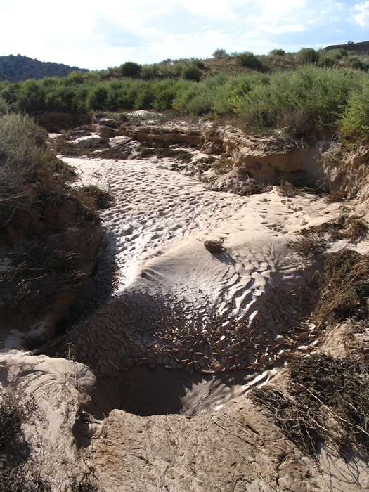
It's getting serious now...This looks like "turn around" point for us too.
The rains we had this week completely washed the roads. They left not much but mud
holes...
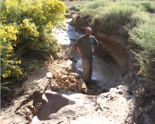
Marc goes to look for an alternate route around that hole. First with the quad (without
the trailer), then, after noticing how cactus infested the are was, he continues on foot
to avoid puncturing a tire.
He finds a way that does'nt look too bad.
Marc: "Let's try it."
France: "Ouais...(sigh...)"

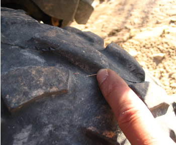
While looking for a way around the impassable mud hole, Marc brought back a souvenir...
Fortunately, it did'nt puncture the tire! |
 |
On the other side of the hole, the road becomes moderately easy again. On sand but with
some rutted sections. Until it ends...In a more or less dry river bed...
Should we follow that river? Or not?
Will it be passable? Or not?
Will we face other mud holes? Or not?
Faced with all those questions we decide not to take any chances, play it safe and...Go
check for ourselves!
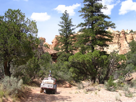
It's rough, rocky, full of sharp turns but...Overall, it goes in the right direction!
(T.G. for GPS!) The more we get to lower elevation the wetter and muddier the river bottom
is getting. We also feel the cooler, more humid air. All of a sudden, we end up on a nice
graded gravel road! Yesss! We made it!...That only lasts a moment because, about 200 ft
down, the road ends into the river bed again...It happens at least 10 times...Every time
we think we're good, we made it...Each time, we're disappointed...At one point there's
even a sign that says county maintained road starts (or ends...) here! Once again, we're
all excited! Once again, we're disappointed...
At the end of one of those graded road sections, we get to another river...
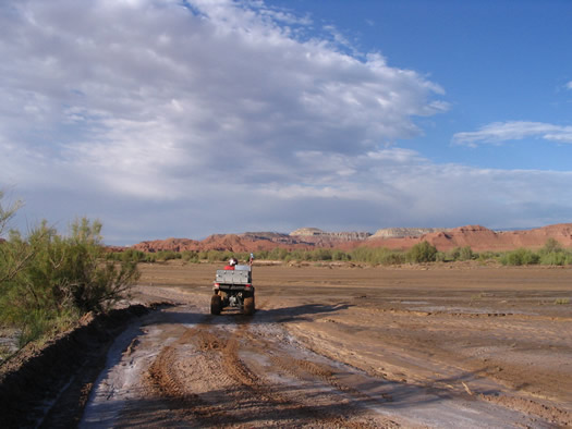
...This one MUCH wider...
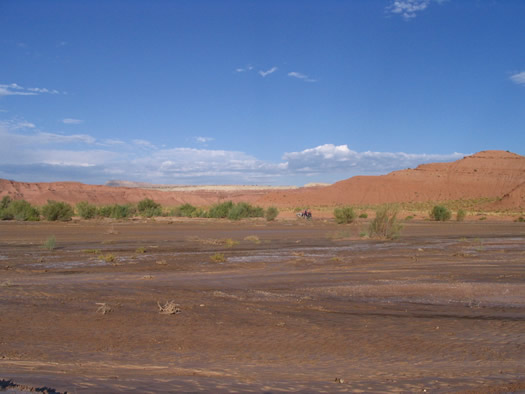
...And MUCH more muddy...OK, and which way is it suppose to
go now???
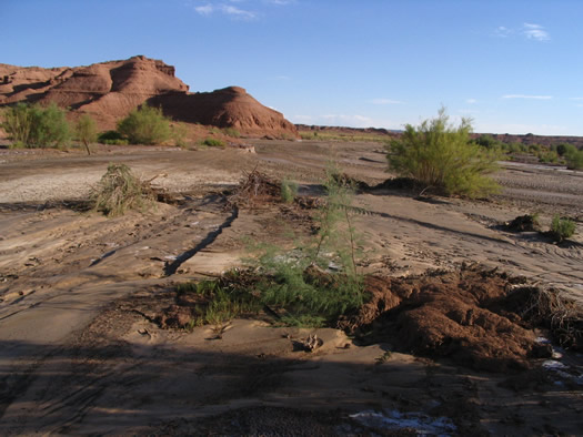
The last flash flood washed away whatever road there was...
It's getting late. Guess we're going to have to sleep here somewhere and see if we can
find the road tomorrow...
While looking for a safe place to pitch the tent (read: highest possible point...)
France ends up right on the road we were looking for! Wow! We were heading completely in
the wrong direction!
We see mountains in the distance. According to the GPS, Emery must be just on the other
side of these. We thought we could reach it today but all those surprises we came upon
really got us late. We can only dream of a hot shower and a good meal at the
restaurant...:(

Polaris
Industries - Canada
Polaris Industries - USA
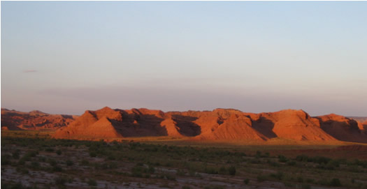
After finally getting out of the river bed and onto a road that seems to want to remain
a road...Surprise !! But, but, what are those big black boulders doing there??
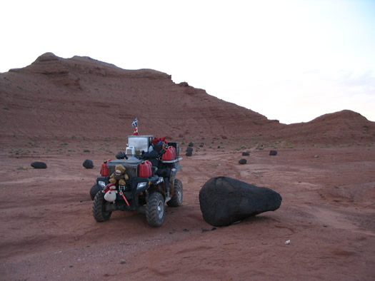
...Where the heck did they come from?? Over here, everything is a brownish red !!!
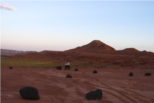
You'd think we're on the red planet!!
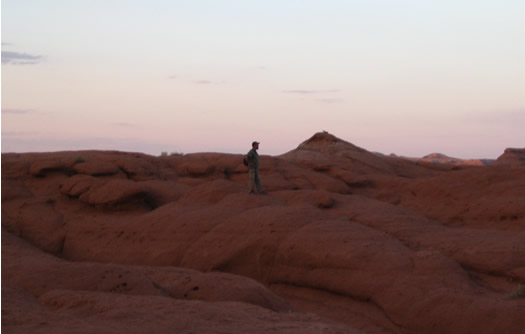
Look! Martians!! They're not green but they have super long legs and very short bodies!
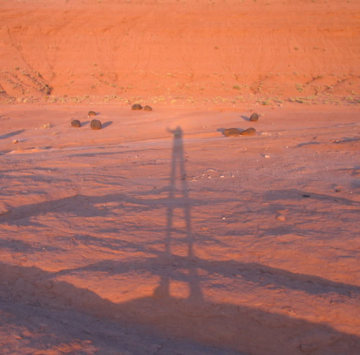
OK, OK, It's been a long day. We should go to bed before we start writing stupid
things!!
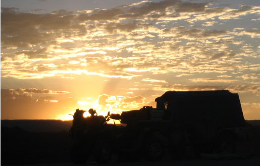
When we were by the Little Grand Canyon rim, last night, someone had told us that the
weatherman expected a lot of rain coming from a storm that hit Baja a few days ago. We
were supposed to get it tonight and tomorrow, that's why we were rushing to get out of the
Swell ASAP. When you stop and think about it, there was only 2 days this week when it was
possible to ride across the Swell following the route we took. Before, the rivers would
have been too high and the canyons too muddy. After, we could have faced serious flash
floods that would have turned canyons into rushing rivers and made them impassible...Great
timing !!
September 9th, 2007.
Have you ever noticed how often you will find solutions to some of the most difficult
questions in the morning, after a good night sleep? We found out what those big black
things are...To find out too, click here
All right, that's enough of that! One last look around our campsite...
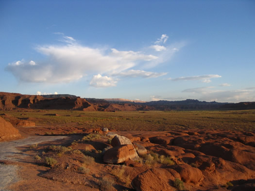
...And hop! Here we go!
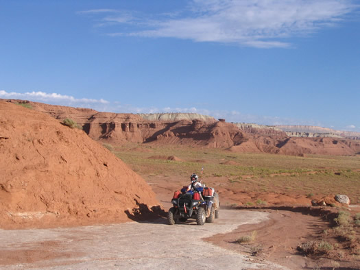
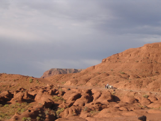
The Quadtrek expedition zooms to Emery and a good breakfast at the local restaurant.
(Well, if we missed dinner, we can always have breakfast!). Better hurry before we get
that rain!
Now what?? We ride in chocolate?? (Yeah, guess I'm really hungry...)
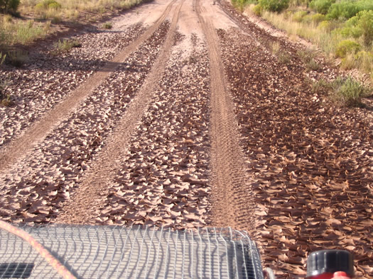
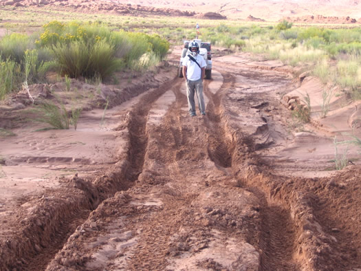
It's soooo hot! The chocolate road has melted!
"C'mon Honey! If I made it thru, you'll make it thru!"
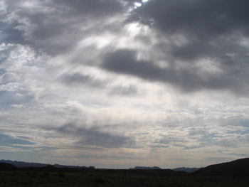 |
Unrelatd: Just thought it looked cool!!
|
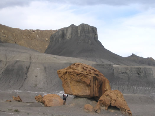
...And that's before breakfast! Imagine after! (Quite a contrast in color too).
Speaking of breakfast, yesterday,we really wished we could have made it to Emery and
have a good shower and a good meal...Today, we get there and find out there's no motel, no
restaurant, nowhere to have a shower...A guy we ask tells us the closest services are...In
Ferron !!!
In Ferron!!...Simonac!...171 miles of trail the way we came!!! (Or
13 miles using the road...off limit to quads...)
Here, there's only a tiny little gas station and it's closed on Sundays... And...Guess
what...Today's Sunday, Simonac !
But we need gas, like, now, not tomorrow, if we want to make it to Salina. It's
10:30am, think we'd like to wait 'til tomorrow to move on??
Marc stops the first pick-up truck that drives by:
"Hey, my friend (...), I could use 2 or 3 gallons of gas, the station's closed and I
can't see anybody in town, could help us?"
The guy: "Yeaaah, everybody's gone to church. I think I might have a gallon lying
around somewhere...Follow me..."
Approximately half a gallon later...We're still on the hunt for gas...
We find ourselves at Derek's, who's just back from church, wearing nice pants, boots
and a perfectly white shirt (not like us who are in serious need of a shower...). He
simply tells us to take what we need from his jerry cans of fuel and does'nt want to hear
anything when we try to pay him back for it. He says he's happy to help. He also tells us
he goes to Baja most every year to ride his dirt bikes and that he's had nothing but great
experiences down there. Excellent!!
In all kindness, he and his kids even invite us for dinner! Thank you, really, but I
think we'll pass. We got to be on the road.
...T.B.C....
|