|
previous trip
May 3rd & 4th, 2006
HATFIELD McCOY TRAIL SYSTEM
WEST-VIRGINIA, USA
DINGESS RUM.
No primitive camping...Park in the trailhead parking lot...it's nice anyway!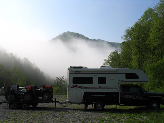
After our experience in the little coal river trail system, we felt confident enough to
tackle some "moderate" trails.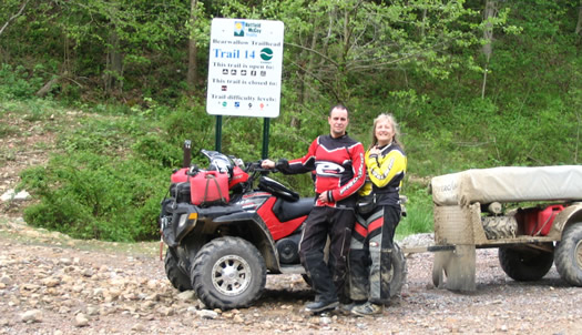
Spring's the time when "mudders" spring into action!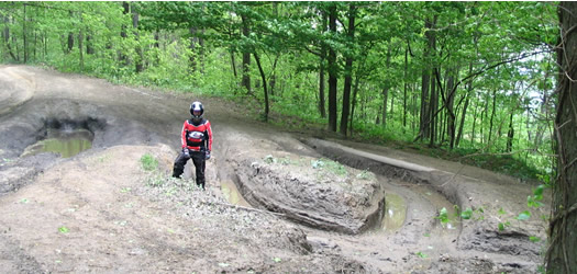
Humm...Nice view! Now all we have to do is get back down there!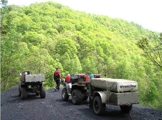

Yeah !
 |
Bing...Bang...Boom...a hole...a rock...some water and lots of
mud...incredibly, our equipment is holding up!
|
| Bof... |
|
 |
Most difficult trails that became "the trail to
hell"! |
|
|
Small streams and rivers, always a favorite.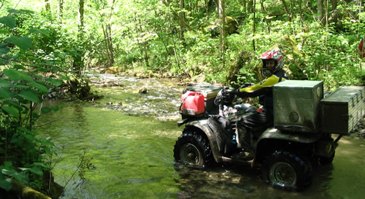
Enjoying a vacation and the sunshine!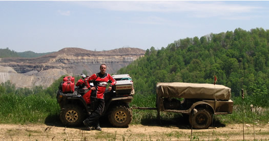
Trails are classiied by their degree of difficulty:
- easy: shaky, twisty and generally O.K.
- more difficult: some steeper pitches and hairpin switchbacks.
- most difficult: lets see what they look like...
easy: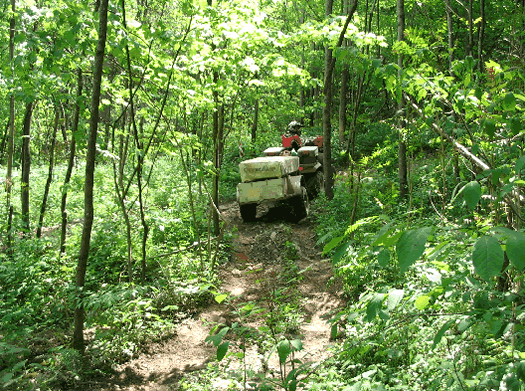
more difficult (with switchbacks):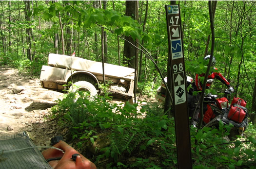
most difficult: unadvisable for heavy utility quads loaded to capacity and when hauling
a trailer, it becomes sheer madness!!!
Hills so steep that you can't help but go down (with all wheels locked) and that for
what seems like an endless distance...After about a mile or so, we figure "that must
be the way to hell" and since we're not ready go there yet, we decide to turn around
and (try) to back up...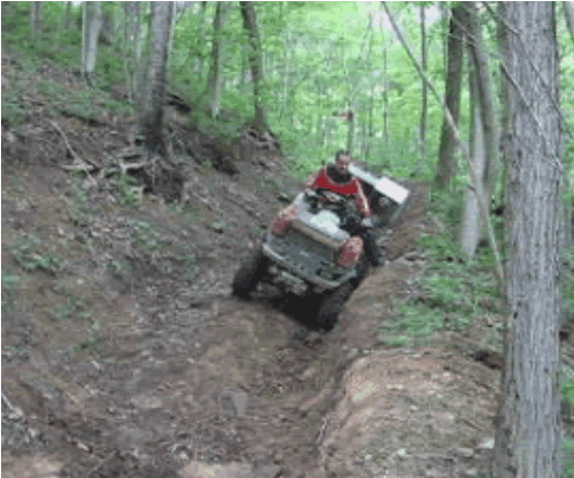
The combined weight of the quad and trailer is just too much for the little traction
the trail offers. So we have to "winch" our way back up the hill, one cable
lenght at a time...placing rocks behind the wheels of the quad so it does'nt roll back
down while we hook the winch cable to another tree...
for over two hours...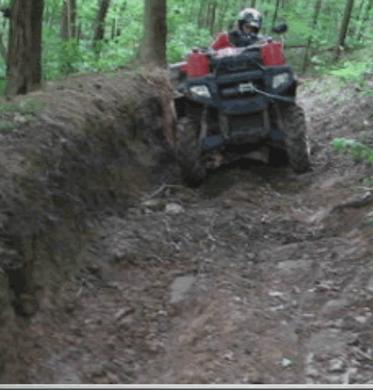
O.K. So now we know the limits of our quads, considering the amount of stuff we carry!
This was meant to be a "test trip", it has been, already!
A large machine has it's limits!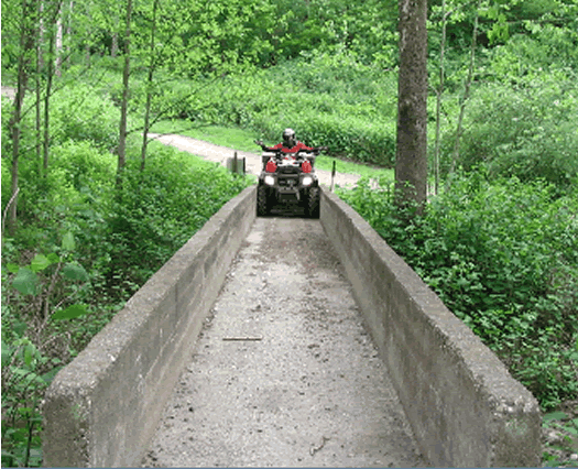
 The
award for "Most useful item of the day" goes to: The winch!
If it had'nt been for it, we'd probably be writing this from hell, right now!! |
To see a list of all the
tricks and infos,
click here
|
|
|
|
|

- nb of switchbacks: 50
- miles going up: 50
- miles going down: 50
- miles on flat land: 0
Durocher transit

Easy trails: O.K.
Most difficult trails: we forget about it!
 YOUR
LOGO HERE
A link redirect readers to your company website
Advertise special offers
This space is AVAILABLE for you.
THANKS |


Get periodic updates of France's and Marc's situation.
Sign in to our newsletter, enter your email address here.
|
|